
 CONSULTING and PROJECT MANAGEMENT
 SOFTWARE and APPLICATIONS
 COMPREHENSIVE PROFESSIONAL SERVICES
 DESIGN and OPTIMIZATION
MEASUREMENT SYSTEMS and CUSTOM MADE SOLUTIONS
UAV SOLUTIONS
professional tailor-made solutions
SW security, stability and application speed
STATIC SYSTEMS

AERIAL SOLUTIONS
online measurements and real-time information
software and application optimization
ENVIRONMENTAL SYSTEMS
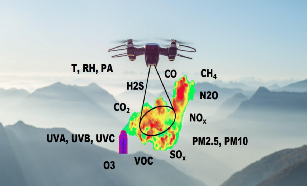
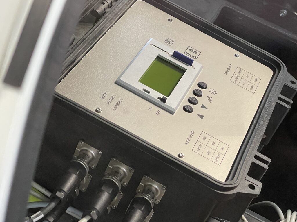
ENVIRONMENTAL SYSTEM (“SBL ES”) provides comprehensive automatic measurement of air quality and its key parameters. It is designed for monitoring in cities and municipalities, on road networks, at airports, as well as in industrial areas, where it is used for tracking industrial emissions and ensuring area safety monitoring. The system is based on proprietary advanced algorithms that enable ppb-level measurements using electrochemical sensors and provides real-time data:
- measurement of gases: nitrogen dioxide (NO₂), nitric oxide (NO), nitrous oxide (N₂O), carbon monoxide (CO), ozone (O₃), carbon dioxide (CO₂), sulfur dioxide (SO₂), and hydrogen sulfide (H₂S)
- measurement of volatile organic compounds (VOC) and particulate matter (PM2.5, PM10)
- measurement of temperature (T), humidity (RH), pressure (PH), and solar radiation (UVA, UVB, and UVC)
- „NEW FUNCTIONALITY” radiation measurement and detection

METEOROLOGICAL SYSTEMS
METEOROLOGICAL STATION (“SBL MS”) provides comprehensive automatic measurements and delivers real-time information on both outdoor and indoor temperature. In a single compact device, it also offers additional measurements of other parameters such as outdoor and indoor humidity, barometric pressure, wind speed and direction, and precipitation levels.
The station also calculates the dew point and perceived (feels-like) temperature, and indicates alerts such as approaching storms, precipitation, wind speed, and temperature changes.
It offers comprehensive measurement capabilities with specialized software that enables easy and convenient handling of collected data. It uses frequency-hopping technology for radio signal transmission and is equipped with an innovative integrated sensor unit.
The weather station software and built-in data logger ensure direct data transfer to the network without the need for a computer. Data can also be sent to popular websites, applications, databases or spreadsheet applications.
PROFESSIONAL DRONES and UAVs
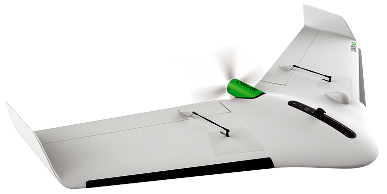
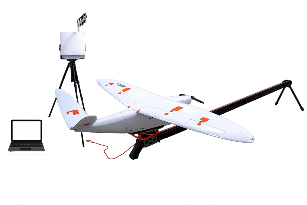
DRONE UAV, mapping
fully integrated 21.4MPix RGB camera
range: up to 3km CE (5km FCC), speed 54km/h
endurance up to 59min (122m AGL)
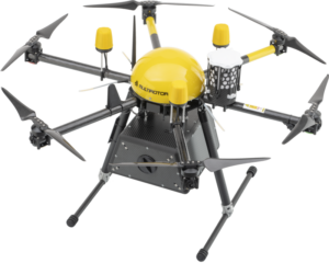
DRONE CARGO, max 1.5kg
box dimensions (l, w, h) 230 x 160 x 120mm
range: up to 15km (122m AGL)
endurance up to 22min, max. take-off 7kg
DRONE AERIAL, max 3kg
box dimensions (l, w, h) 374 x 182 x 240mm
range: up to 30km (250m AGL)
endurance up to 170min, max. take-off 18.5kg
SOFTWARE and APPLICATIONS
DATA COLLECTION and EVALUATION is carried out via a wireless datalogger with specially developed software. It offers precise analog and digital inputs, RS-485 and RS-232 interfaces and SCADA/MODBUS support.
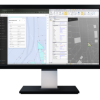
SOFTWARE for GIS as a geospatial platform for geographic information system (GIS) technology. We integrate and connect data through geographic context. We provide capabilities for creating, managing, analyzing, mapping and sharing all types of data.

EVALUATION SW and APPLICATIONS connect precise positioning systems with easy use in GIS. They work with GPS coordinates and evaluated data, simplifying the collection, analysis and practical use of spatial information in various industries.
