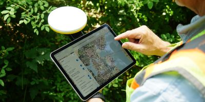
SOFTWARE and APPLICATIONS
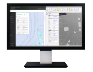
DATA COLLECTION and EVALUATION
is carried out via a wireless datalogger with specially developed software. It offers precise analog and digital inputs, RS-485 and RS-232 interfaces and SCADA/MODBUS support.
SOFTWARE for GIS
serves as a geospatial platform for geographic information system (GIS) technology. We integrate and connect data through geographic context. We provide capabilities for creating, managing, analyzing, mapping and sharing all types of data.
Evaluation software and applicans connect precise positioning systems with easy use in GIS. They work with GPS coordinates and evaluated data, simplifying the collection, analysis and practical use of spatial information in various industries.